Explorar las categorías
Explora
Fiverr Pro
Español
$
USD

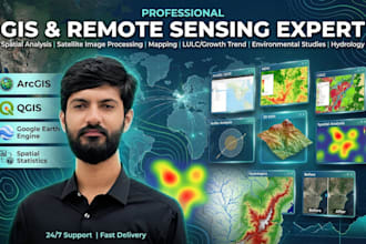
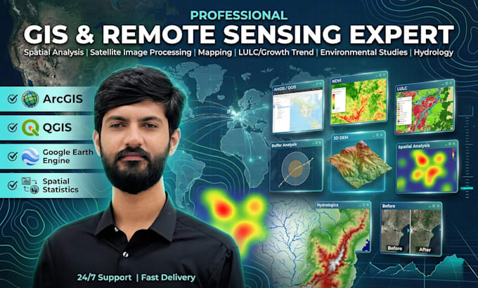
GIS and Remote Sensing Expert
Habilidades
Revisa mis servicios
GIS and Remote Sensing Analyst
Shehersaaz Pvt. Ltd • Tiempo completo
Aug 2024 - Present • 1 yr 11 mos
As a GIS and Remote Sensing Analyst, My core Resposibilty includes a Wide Range of analysis that can be useful in Urban and Master Planning of Cities, those may be in Vector Data or Satellite Imagery to support urban planning. Different analysis include accessibility and network analysis, Landsuitability analysis, Urban Sprawl and Change detection analysis etc. Combining all these with cartography I deliver Master Plan, Thematic, and Various Remote Sensing Maps that are easily understandable.
| (1) | ||
| (0) | ||
| (0) | ||
| (0) | ||
| (0) |
asad_farooqi12

Reino Unido
I had a fantastic experience working with Waleed. Even though this was my first time ordering from him, he delivered high-quality, professional work that perfectly matched my requirements. His communication was excellent, and he understood the technical details of the GIS analysis immediately. I would...
Respuesta del Freelancer