u
udaysm

Uday Munda

@udaysm
4.7(1)

GIS and Remote Sensing Analyst

India
Parte de la información aparece en idioma inglés.
Sobre mí
I am a GIS & Remote Sensing Analyst specializing in geospatial analysis, satellite image processing, and professional map design. I provide LULC mapping, Land Surface Temperature (LST) analysis, urban heat mapping, watershed delineation, terrain analysis, georeferencing, digitization, and spatial analysis. I work with ArcGIS, QGIS, ERDAS IMAGINE, R, Python, and Excel to create accurate, clear, and visually appealing maps. I focus on quality, attention to detail, and client satisfaction. Let’s discuss your GIS project!... Lee más

Habilidades

u
udaysm
Uday Munda
desconectado • 

Revisa mis servicios

Sistemas de información geográfica (GIS)
I will do gis analysis, lulc, geoprocessing, image classification
4.7(1)
Formateo de Datos
I will do data entry, data cleaning, excel, data excel work

Porfolio

1 Reseñas
4.7

(1)
(0)
(0)
(0)
(0)
Desglose de calificaciones
  • Nivel de comunicación del Freelancer
    4
  • Calidad de la entrega
    5
  • Valor de la entrega
    5
1-1 de 1 reseñas
Ordenar por
Más relevante
    T
    image-docs

    tharun_ravi

    IN

    India

    4.7

    Really provided the exact work that was requested. Happy to collaborate once again in the future.
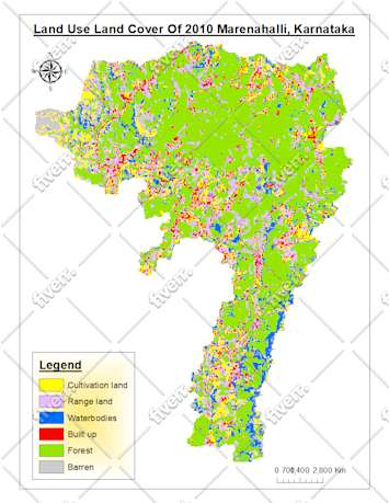
    Imagen de muestra de trabajo
    Útil?
    Sí
    No