Explorar las categorías
Explora
Fiverr Pro
Español
$
USD

Krida
@timakrida
Level 1
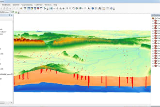
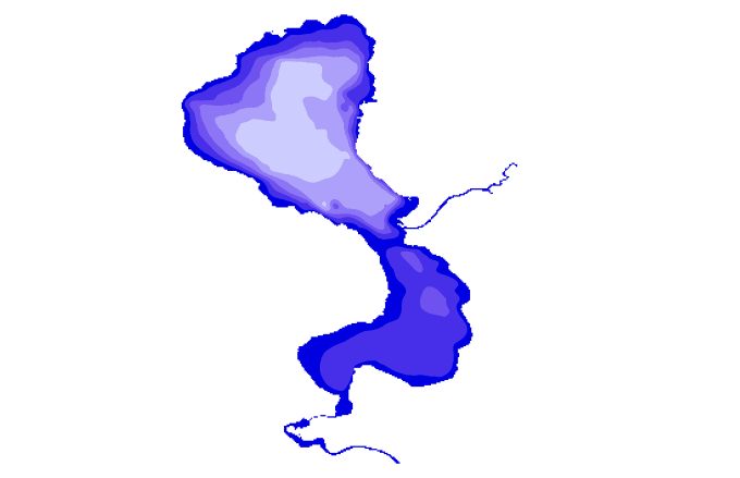
I will create professional GIS maps, bathymetric analysis
Marruecos
Inglés
Sobre mí
Are you looking for a professional GIS analyst, cartographer, and geologist with over 10 years of experience? You’ve found the right expert!
I specialize in GIS mapping, spatial analysis, hydrology, and remote sensing using ArcGIS, ENVI 5.3, QGIS, and advanced geospatial tools. I have successfully delivered projects in environmental studies, geology, topography, hydrology, stormwater management, and urban planning.
My Services Include:
Cartography & Symbology –Bathymetric Data Analysis-Hydrology & Stormwater Manaent – runoff modeling, watershed delineation, drainage maps.
Topographic Mapping
Habilidades

Krida
USD 50/hora
desconectado •
Tiempo medio de respuesta: 1 hora
Revisa mis servicios

Sistemas de información geográfica (GIS)
I will create topographic contour lines

Sistemas de información geográfica (GIS)
I will create bathymetric maps for any lakes in word
¿Quieres trabajar por horas?
Dile a Krida qué necesitas.
USD 50
/
hora74 Reseñas
| (73) | ||
| (1) | ||
| (0) | ||
| (0) | ||
| (0) |
Desglose de calificaciones
- Nivel de comunicación del Freelancer
- Calidad de la entrega
- Valor de la entrega
1-5 de 74 reseñas
Ordenar por
Más relevante
tianard

Estados Unidos
Útil?
lidamsoukouli
Cliente recurrente

Grecia
Útil?
myoung101010

Estados Unidos
Exceeded expectations, delivered exactly what was needed. Thank you!
Útil?
nickmikulec
Cliente recurrente

Estados Unidos
Repeat customer! He’s a Rockstar. Amazing communication, high quality work.
Útil?
lidamsoukouli
Cliente recurrente

Grecia
very happy with the quality of professionalism and delivery of results! I will definitely work again with Krida.
Útil?

