Explorar las categorías
Explora
Fiverr Pro
Español
$
USD

Land Surveying, CAD Drafting and Survey Data Processing
Habilidades
Revisa mis servicios

Fiverr
Trabajador autónomo • 0 mos
Architectural CAD Drafter
Jul 2026 - Jul 2026 • 0 mos
Skilled in architectural drafting, floor plan design, building elevations, sections, and construction drawings. Experienced in creating and editing CAD plans, converting PDF sketches into digital drawings, and preparing clear, detailed architectural layouts. Focused on accuracy, professional presentation, and client satisfaction. Knowledgeable in preparing residential layouts, dimensioning, annotations, and detailed architectural plans. Dedicated to maintaining drawing consistency, following project specifications, and delivering high-quality results within agreed deadlines. Committed to clear communication and providing reliable drafting support to architects, engineers, contractors, and property developers.
Land Surveyor & CAD Drafting Technician
Apr 2026 - Apr 2026 • 0 mos
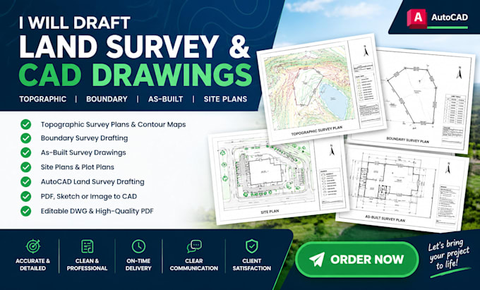
Experienced in land surveying support, AutoCAD drafting, survey data processing, topographic mapping, contour plans, and site layouts. Skilled in preparing accurate survey drawings, processing field data, and creating professional technical plans. Committed to precision, quality, and timely delivery to support surveyors, engineers, and construction professionals. Proficient in organizing survey information, interpreting measurements, preparing detailed 2D drawings, and editing existing CAD files. Focused on maintaining proper dimensions, drawing layers, annotations, and professional standards. Dedicated to understanding project requirements, providing reliable drafting solutions, maintaining clear communication, and delivering quality results that meet client expectations.
