Civil Engineer who builds GIS tools that solve real problems
Pakistán
Inglés
Parte de la información aparece en idioma inglés.
Sobre mí
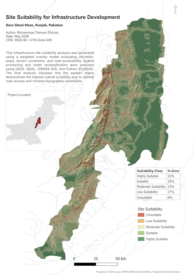
I'm a Civil Engineer pursuing an MS in GIS & Remote Sensing. I combine 2+ years of on-site construction experience with satellite data analysis, Python automation, and spatial problem-solving. I don't just make maps — I build tools that help engineers and planners make better decisions. My work includes seismic vulnerability mapping, flood risk analysis, hydrological modeling, and interactive web dashboards — all built with QGIS, ArcGIS Pro, Python, and Google Earth Engine.... Lee más