s
sohailqasim418

Sohail

@sohailqasim418

GIS, Remote Sensing and GeoAI Specialist, PhD Researcher

Pakistán
Inglés, Urdu, Francés, Turco, Árabe
Parte de la información aparece en idioma inglés.
Sobre mí
GIS, Remote Sensing and Disaster Risk professional with 5+ years of experience in spatial analysis, multi-hazard assessment and decision-support. Currently pursuing a PhD in GIS and Remote Sensing, I contribute to national disaster-risk work in Pakistan. Services: • GIS mapping, spatial analysis and cartography • Google Earth Engine and satellite processing • Flood, landslide, GLOF and multi-hazard assessment • Web GIS portals and interactive dashboards • Python automation, GeoAI and spatial modelling I deliver accurate, documented and decision-ready work with clear communication.... Lee más

Habilidades

s
sohailqasim418
Sohail
desconectado • 
Tiempo medio de respuesta: 1 hora

Revisa mis servicios

Sistemas de información geográfica (GIS)
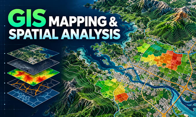
I will create professional gis maps, spatial analysis and digitization
Programación y tecnología
I will develop google earth engine scripts for satellite analysis

Porfolio

Experiencia laboral

Assistant Manager Multi-Hazard Modeller

Company • Tiempo completo

Feb 2021 - Present • 5 yrs 9 mos

Multi-Hazard Modeller