Explorar las categorías
Explora
Fiverr Pro
Español
$
USD


Traducción automática
Hola, señor,
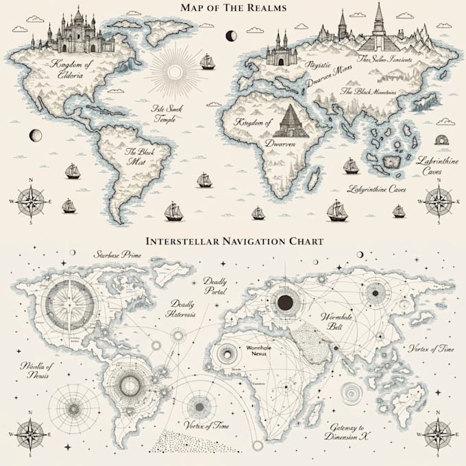
A pesar de las diferencias en el tamaño de los mapas, todos pueden tener características comunes. Esto se refiere a las ubicaciones y elementos ambientales, con detalles en edificios, terreno y otras características del entorno.
La letra puede hacerse a mano o usando una fuente. Aunque mis mapas incluyen nombre y brújula, estos pueden eliminarse si es necesario, así como la inclusión de marcos, personajes y otros elementos.
- Estado -
Un mapa de buen tamaño (A4), con una densidad media de ubicaciones, para que ya puedas obtener una buena cantidad de información.
- País -
Un mapa de buen tamaño (A4), con alta densidad de ubicaciones, brindándote mucha información.
- Continente -
Un mapa de gran tamaño (A3), con mayor densidad de ubicaciones, con una gran cantidad de información detallada.
Gracias por contactarme. Cuando comiences el proyecto, por favor dime toda la información que necesito para ofrecerte lo mejor posible
Informa al freelancer cualquier preferencia o inquietud que tengas con respecto al uso de herramientas de IA en la finalización y/o entrega de tu pedido.
Artist
Idiomas
Traducción automática