Hi, I'm Robiat Faisal Ratin, a GIS & Remote Sensing enthusiast skilled in spatial data analysis, watershed & drainage morphometric analysis and map production.
Skills:
- DEM processing & watershed delineation
- Drainage network & stream order analysis
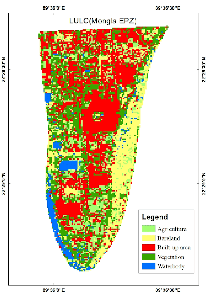
- LULC mapping using satellite imagery
- Georeferencing (Google Earth Pro & topographic maps)
- Thematic map & report creation
- GIS data visualization in Excel (graphs/charts)
I'm a student at Dept. of Water Resources Engineering, BUET, passionate about applying GIS to solve environmental problems. Let's discuss your project!... Lee más