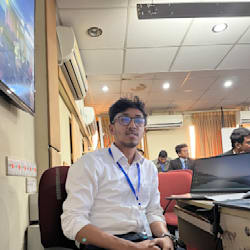
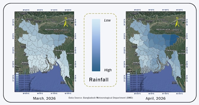
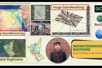
Hello! I am an undergraduate student in Geography and Environmental Science, I do GIS and Remote Sensing Analysis with expertise in ArcGIS, QGIS, spatial analysis, geoprocessing, and cartographic design. I offer GIS mapping, land suitability analysis, flood risk assessment, hotspot analysis, weighted overlay modeling, digitizing, and remote sensing applications. My goal is to deliver accurate, insightful, and visually appealing geospatial solutions that help clients make informed decisions.
Let's bring your spatial data to life!... Lee más