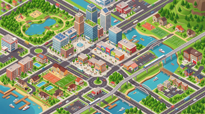
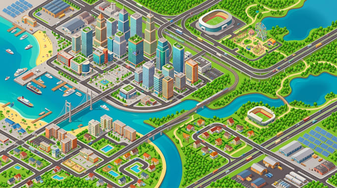
I will do 3d location map isometric map city map neighborhood map vector illustration

P
paulsteven809
P
paulsteven809
Paul S
Parte de la información aparece en idioma inglés.

Acerca de este Servicio

Bring locations to life with detailed 3D location maps, isometric city maps, neighborhood maps, and vector illustrations designed for clear and engaging visual communication.


I create custom maps that showcase streets, buildings, landmarks, properties, and important locations in an attractive, easy to understand layout.


WHAT I OFFER

  • 3D location map illustration
  • Isometric city and neighborhood maps
  • Custom vector map design
  • Real estate and property location maps
  • Roads, buildings, and landmark illustration
  • High resolution PNG and JPG files
  • Editable source files upon request


WHY CHOOSE ME?

  • Clean and well organized map layouts
  • Attention to detail and visual accuracy
  • Colors and styles suited to your project
  • Clear communication throughout the process
  • Revisions based on the selected package


My maps are suitable for real estate marketing, business presentations, tourism, urban planning concepts, property guides, and promotional materials. Contact me today to get started

Preferencia de estilo de entrega

Informa al freelancer cualquier preferencia o inquietud que tengas con respecto al uso de herramientas de IA en la finalización y/o entrega de tu pedido.

Conoce a Paul S

Paul S

MAP ILLUSTRATOR

  • DeReino Unido
  • Miembro desdeoct 2026
  • Responde aprox. en:1 hora
  • Idiomas

    Español, Inglés, Alemán
I create detailed digital maps and location illustrations for campuses, venues, cities, parks, events, airports, museums, and development projects. My services cover custom map illustration, 3D isometric maps, site plans, wayfinding maps, visitor guides, master plan graphics, and location-based visuals. I focus on clear layouts, accurate placement, readable navigation, and strong visual presentation. I can work from sketches, satellite references, CAD files, PDFs, or existing maps and deliver polished files ready for print, web, or presentation use.