Explorar las categorías
Explora
Fiverr Pro
Español
$
USD

Geospatial Consultant and Data Engineer
Habilidades
Revisa mis servicios

Geospatial Consultant
Upwork • Trabajador autónomo
Jul 2025 - Present • 1 yr 2 mos
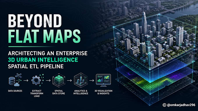
• Designed and built a cloud-native, modular ETL pipeline in Python to ingest structured data from multiple sources, apply reusable transformation logic, and load outputs into a structured data lake supporting both batch and near real-time ingestion patterns. • Orchestrated end-to-end pipeline scheduling with Apache Airflow DAGs, configuring task-level retries, failure alerting (email/Slack callbacks), SLA breach detection, and dependency management across multi-step ingestion workflows. • Implemented data quality checks at each pipeline stage schema validation, null/duplicate reconciliation, and audit timestamp fields ensuring reliable, auditable data delivery to downstream analytics consumers. Deployed CI/CD (GitHub Actions) for automated pipeline testing.

Senior Research Fellow (RS & GIS)
World Bank • Tiempo completo
Dec 2023 - Jul 2025 • 1 yr 7 mos
• Designed and operationalized data ingestion pipelines delivering infrastructure indicators to a central data warehouse, supporting World Bank reporting SLAs and full audit requirements. • Led technical capacity-building workshops for the Central Water Commission (Govt. of India) and World Bank on ET-based irrigation assessment tools. • Automated validation workflows using PyQGIS to verify third-party hydrological data accuracy, ensuring robust model inputs. • Optimized Machine Learning models for facility planning, utilizing spatial factors to predict optimal resource allocation.
