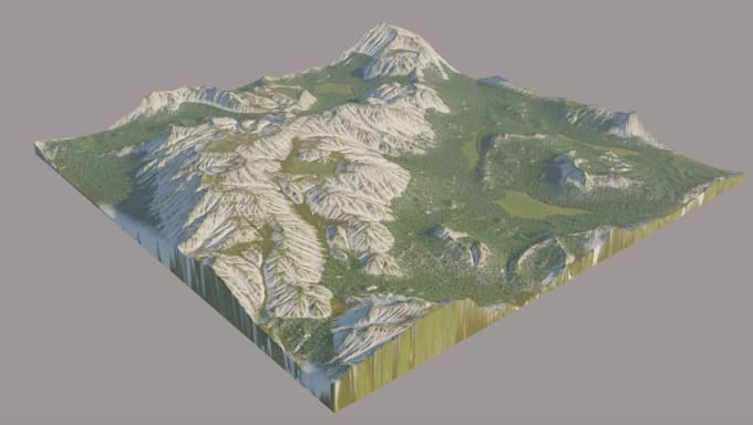
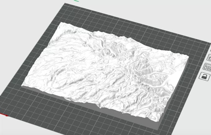
Hello, I’m an Architectural Designer and 3D Visualization Artist specializing in drone mapping, point cloud processing, LiDAR, GIS, survey data, terrain modeling, and CAD drafting.
i am also specialize transform aerial imagery, laser scans, point clouds, and survey data into accurate and usable 2D drawings, 3D models, terrain surfaces, and digital site models.
I can work with a variety of data formats, including LAS, LAZ, E57, RCP, XYZ, DWG, DXF, DEM, DSM, DTM, OBJ, and STL, depending on your project requirements.... Lee más