o
oishi_74

Oishi

@oishi_74

Specialized GIS and CAD

Bangladesh
Inglés
Parte de la información aparece en idioma inglés.
Sobre mí
Hello! I’m a GIS & CAD Mapping Specialist with 5+ years of experience in aerial imagery mapping, geospatial data processing, and QA/QC. I specialize in AutoCAD Map 3D and QGIS, offering building footprint digitization, road and parking mapping, parcel and boundary mapping, DWG georeferencing, Object Data Tables, topology setup, GIS data conversion, and spatial data validation. I focus on accuracy, clean data organization, and professional deliverables in DWG, DXF, SHP, KML/KMZ, and GeoJSON formats. Message me to discuss your GIS or CAD project!... Lee más

Habilidades

o
oishi_74
Oishi
desconectado • 
Tiempo medio de respuesta: 1 hora

Revisa mis servicios

Sistemas de información geográfica (GIS)
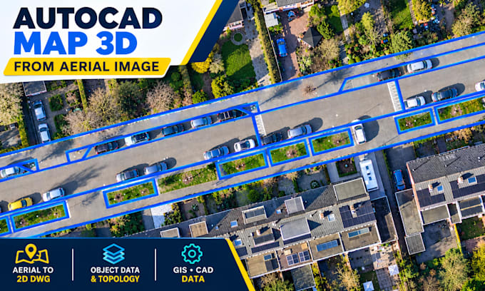
I will convert aerial images into autocad map 3d dwg maps
Sistemas de información geográfica (GIS)
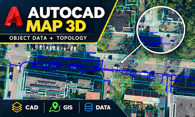
I will create autocad map 3d object data, topology and gis mapping

Experiencia laboral

Gismart

CAD GIS specialist

Gismart • Tiempo completo

Jan 2024 - Present • 2 yrs 9 mos

Working as a GIS & CAD Mapping Specialist, specializing in aerial imagery mapping, geospatial data processing, and quality control (QA/QC).