Publica tu libro
Crea tu sitio web
Crea tu marca
Aumenta tu público
Encontrar un trabajo
Servicios de IA
Logo e identidad de marca
Arte e ilustraciones
Varios
Diseño de aplicaciones y sitios web
Producto y gaming
Diseño de impresión
Libros y eBooks
Diseño visual
Diseño de marketing
Moda y merchandise
Diseño 3D
Encuentra animadores, diseñadores, editores de video, locutores y mucho más.
Cloud y ciberseguridad
Encuentra desarrolladores de aplicaciones, diseñadores web, expertos en IA y mucho más.
Redes sociales
Específico de canal
Métodos y técnicas
Escala tu marketing con IA
Análisis y estrategia
Industria y fines específicos
Encuentra especialistas en SEO y en marketing digital, expertos en ventas, administradores de redes sociales y mucho más.
Edición y postproducción
Videos sociales y de marketing
Videos de presentador
Gráficos animados
Animación
Producción cinematográfica
Videos explicativos
Videos de productos
Redacción de contenido
Edición y crítica
Libros y libros electrónicos
Redacción profesional
Contenido para negocios y marketing
Traducción y transcripción
Contenido específico de la industriaNuevo
Encuentra redactores, creadores de contenido, correctores, traductores y mucho más.
Ingeniería de audio y posproducción
Streaming y audio
DJing
Diseño de sonido
Lecciones y transcripciones
Constitución de empresas y consultoría
Operaciones y gestión
Ventas y atención al cliente
Encuentra tenedores de libros, abogados, contadores, gerentes de proyectos y mucho más.
Desarrollo de aplicaciones móviles con IA
Datos
Artistas de IA
IA para negocios
Audio con IA
Contenido de IA
Superación personal
Ocio y pasatiempos
Moda y estilo
Bienestar y fitness
Consultores empresariales
Estrategia de marketing
Consultoría de datos
Coaching y asesoramiento
Consultoría de tecnología
Tutoría
Análisis y visualización de datos
Recopilación de datos
Gestión de datos
Bases de datos e ingeniería
Productos y estilo de vida
Personas y escenas
Fotógrafos locales
Habilidades
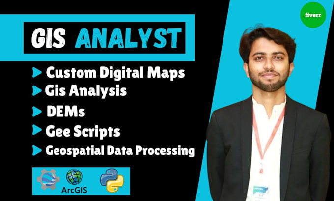
Revisa mis servicios
Contacta a Sarfraz