m
moulick13

Md Alzaber

@moulick13

Never Give Up

Bangladesh
Inglés, Hindi, Alemán, Español
Parte de la información aparece en idioma inglés.
Sobre mí
I have three years of experience in the field of GIS and Remote sensing. I am good command on spatial data handling on Arc GIS pro, QGIS, Google earth pro and google earth engine platform.I am used to Map design digitizing maps, spatial database, preprocessing data, supervised and unsupervised classification, land use land cover map detection and analysis, population density map, Digital image classification and so on relevant on Remote Sensing Applications such as Satellite Image Processing,DEM, Land Use Classification, Temporal Data Analysis. Thank you.... Lee más

Habilidades

m
moulick13
Md Alzaber
desconectado • 
Tiempo medio de respuesta: 1 hora

Revisa mis servicios

Extracción de datos
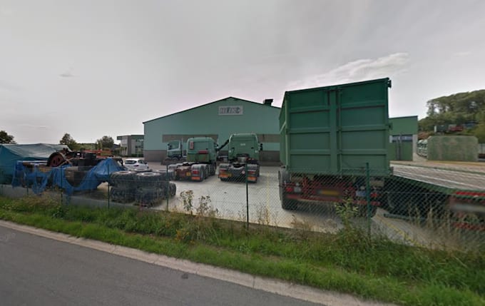
I will collect google street view images and metadata for you
Visión Artificial
I will do vectorization , gis road feature extraction from lidar

Experiencia laboral

GroupMappers

GIS ANALYST

GroupMappers • Tiempo completo

Jan 2026 - Present • 9 mos

I help businesses, engineering firms, and researchers solve complex spatial problems through high-precision GIS mapping, spatial analytics, and CAD digitisation. From large-scale infrastructure mapping (such as extracting 400+ km of detailed road networks) to spatial terrain modelling, I deliver production-ready spatial data and cartographic layouts. Core Expertise & Services: Transportation & Infrastructure Mapping: Large-scale Road Network Extraction (200+ km projects), Feature Digitisation, Georeferencing, and Alignment Mapping.