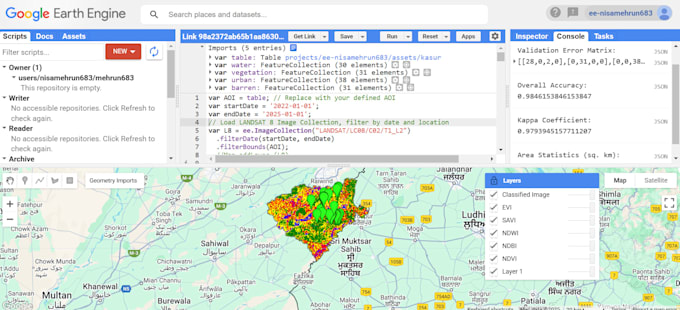
I am a GIS and remote sensing expert with 4+ years of experience specializing in Geographic Information Systems (GIS) and Google Earth Engine (GEE). I offer professional geospatial services, including satellite imagery analysis, land use classification, spatiotemporal data analysis, and interactive map creation. Leveraging GEE’s powerful cloud computing, I deliver precise, high-quality results for research, planning, or environmental projects. Let’s transform your data into actionable insights—message me today to get started!... Lee más