Explorar las categorías
Explora
Fiverr Pro
Español
$
USD

FullStack GIS Developer: Custom Web Apps and Spatial Databases
Habilidades
Revisa mis servicios

Spatial Data Engineer
Lottly AI • Trabajador autónomo
Mar 2026 - Present • 7 mos
•Spatial Data Engineering & Analysis: Engineers ETL pipelines with PostgreSQL/PostGIS to ingest, validate and normalize spatial datasets from multiple sources, and applies graph-based network analysis and quantitative site suitability modeling to support route and site selection for renewable energy development, automating environmental screening and constraint mapping.

Senior GIS Analyst and Developer
GeoPrompt • Trabajador autónomo
Jun 2025 - Present • 1 yr 4 mos
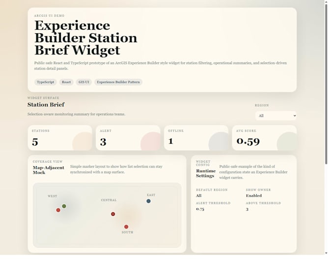
•Enterprise Geodatabase Management: Manages GIS data governance, relational integrity and long-term data quality for the largest active copper mining operation in Arizona, coordinating with client data teams to resolve discrepancies and maintain metadata standards across enterprise-scale spatial and relational datasets. •GIS Platform Development: Develops custom ArcGIS Experience Builder applications with advanced filter widgets, print tools and spatial querying interfaces served through ArcGIS Enterprise web services for mining operations, and builds mobile-optimized Field Maps and Survey123 forms using Arcade logic for real-time GPS-based field data validation and synchronization.

Business Development Manager (previously Senior GIS Developer, GIS Analyst III)
Forester's Co-Op • Tiempo completo
Aug 2022 - Jun 2025 • 2 yrs 10 mos
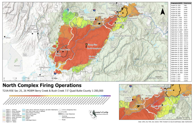
•Staff Supervision & Mentoring: Supervised and mentored GIS analysts, coordinated with leadership to grow the GIS team, and interviewed and onboarded new hires as the group expanded to support additional utility and municipal client accounts. •Vegetation Management & Wildfire Risk: Built a defensible space vegetation management program from the ground up under the PG&E contract, designing the data model, field collection workflows and reporting framework to assess wildfire risk and vegetation clearance across electric transmission and distribution and gas utility infrastructure in Northern California; led ongoing vegetation management and wildfire mitigation analysis, coordinating GPS-based field data collection with program-level spatial reporting. •LiDAR & Terrain Processing: Processed LiDAR point cloud and terrain data using PDAL and LAStools, generating 3D surface models to support infrastructure assessment and vegetation canopy analysis. •GIS Production & Cartography: Produced GIS maps, geoprocessing workflows and cartographic deliverables for municipal and utility clients using Python (ArcPy) and SQL, standardizing recurring reporting outputs across accounts. •Client Management & Business Development: Served as primary client contact and technical liaison between PG&E stakeholders and internal project managers; grew the account from a single technical GIS contract into an expanded program and wrote proposals for municipal utility data collection and National Forest Foundation vegetation management programs.
