Explorar las categorías
Explora
Fiverr Pro
Español
$
USD
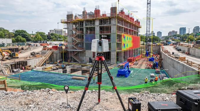
I develop custom point-cloud processing and 3D geometry analysis software for LiDAR, 3D scanning, surveying, robotics, research, and measurement applications.
I can create configurable synthetic point-cloud datasets containing planes, spheres, cubes, staircases, terrain surfaces, and controlled levels of noise. These datasets are useful for testing algorithms, validating measurements, benchmarking processing methods, and developing reproducible 3D workflows.
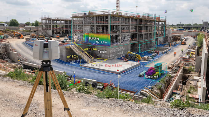
I can implement RANSAC plane fitting, ICP registration, voxel downsampling, PCA normal estimation, DBSCAN clustering, axis-aligned and oriented bounding boxes, elevation maps, contour generation, and measurement validation.
I can also generate visual comparisons showing original versus processed point clouds, point-count reduction, surface normals, detected planes, bounding boxes, registration results, and measurement accuracy.
Please send your sample point cloud, required algorithms, measurement requirements, and desired outputs before ordering so I can recommend the appropriate implementation.