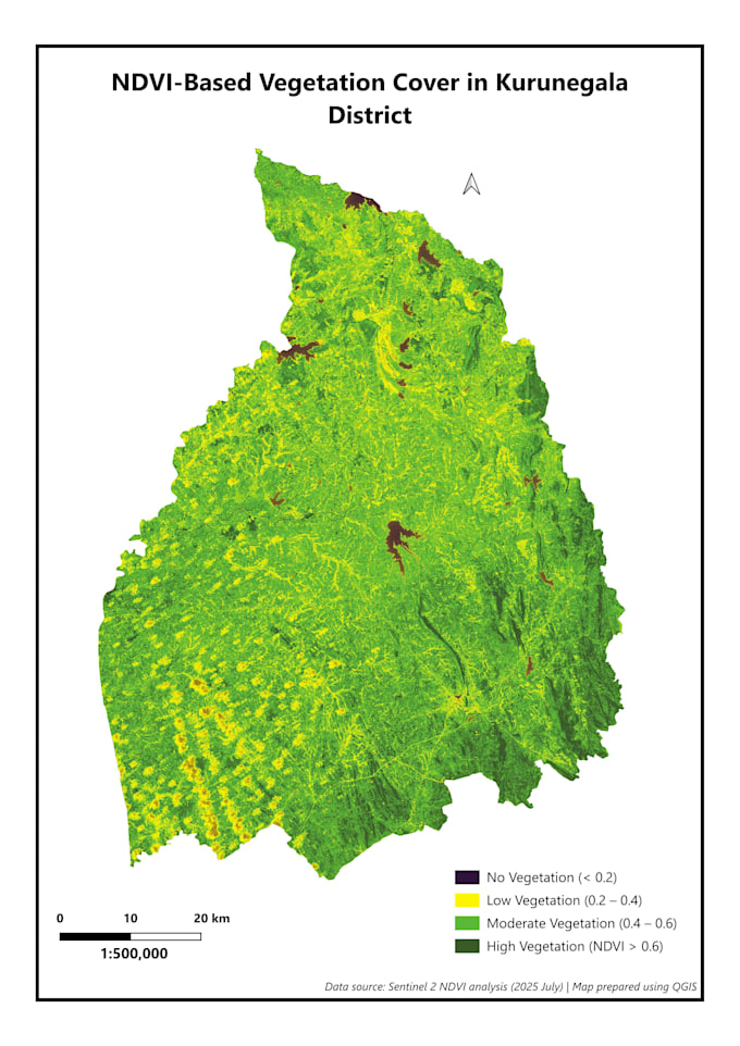
Ofrezco mapeo de cobertura vegetal basado en NDVI usando imágenes satelitales y flujos de trabajo profesionales de GIS.
Lo que incluye este servicio
- Cálculo de NDVI usando datos satelitales Sentinel-2
- Clasificación del estado de la vegetación basada en NDVI
- Diseño de mapa limpio, profesional y listo para publicación
- Salidas de alta resolución adecuadas para informes, tesis y presentaciones
Adecuado para
- Estudios ambientales y forestales
- Análisis de agricultura y plantaciones
- Investigación académica y proyectos estudiantiles
- Informes de ONG y planificación
Entregables
- Mapa clasificado de vegetación NDVI
- Salida en PNG, JPG o PDF de alta resolución
Por favor, ten en cuenta
- Este servicio proporciona mapas de condición de vegetación, no clasificación detallada de uso del suelo
- Validación en campo, interpretación escrita o análisis de series temporales no están incluidos a menos que se discutan previamente
Por favor, contacta conmigo antes de ordenar para confirmar el tamaño del área de estudio y los requisitos.