Explorar las categorías
Explora
Fiverr Pro
Español
$
USD

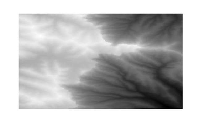
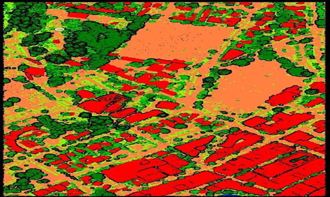
GIS and Drone Mapping Specialist LiDAR, QGIS, Metashape, DEM and Contours
Habilidades
Revisa mis servicios
geodetic engineer
g • Tiempo completo
Jun 2018 - Present • 8 yrs 1 mo
I am a GIS and Remote Sensing professional with experience in LiDAR classification, QGIS mapping, and drone photogrammetry using Agisoft Metashape. I specialize in: - LiDAR data processing and classification - Digital Elevation Model (DEM) generation - Hillshade, contour lines, and slope analysis - Volumetric calculations and terrain modeling - Drone imagery processing and 3D reconstruction - Field survey data integration and geospatial analysis I provide high-quality maps, 3D models, contour and slope visualizations, and volumetric reports suitable for engineering, construction, and environmental projects. My services are tailored to client requirements and data formats.
