Explorar las categorías
Explora
Fiverr Pro
Español
$
USD

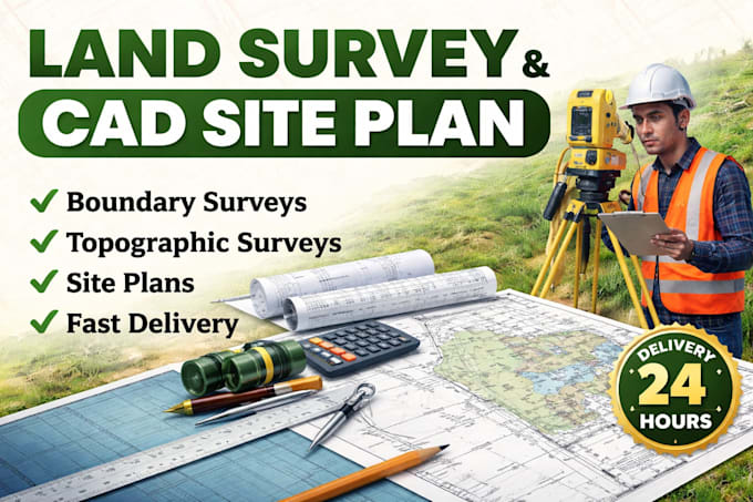
Accurate Land Survey and CAD Site Plan Specialist
Habilidades
Revisa mis servicios
Land Survey & CAD Drafting Specialist
Self Level • Freelance
Jan 2022 - Present • 4 yrs 4 mos
I specialize in creating accurate land survey drawings, CAD site plans, boundary surveys, and topography maps for residential, commercial, and property development projects. My work includes preparing detailed survey files, layout sheets, grading plans, and property mapping solutions in CAD and PDF formats. I work closely with property developers, engineers, architects, contractors, and landowners to deliver clear, organized, and ready-to-use drawings that support planning, permits, construction, and land development. I focus on accuracy, fast turnaround, and clean drafting standards to ensure every project meets client expectations. I also provide revisions and detailed survey layouts to help clients achieve smooth project execution and professional presentation for approvals and submissions.
