Explorar las categorías
Explora
Fiverr Pro
Español
$
USD



Traducción automática
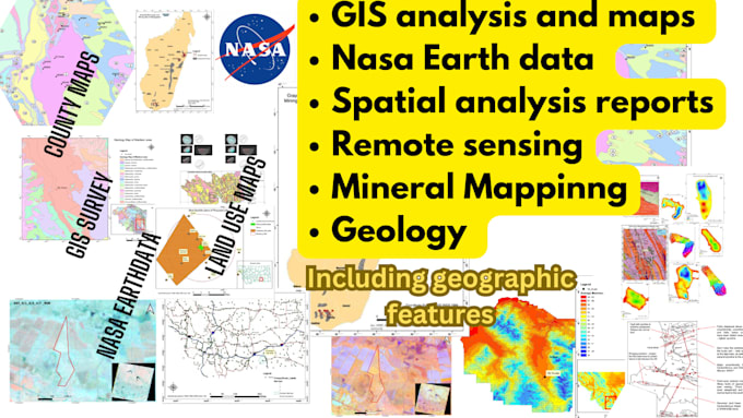
Soy un especialista en GIS con más de 8 años de experiencia en exploración mineral y análisis geoespacial. Entrego resultados precisos y profesionales para proyectos mineros, ambientales y de investigación.
Lo que ofrezco:
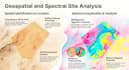
️ Procesamiento de imágenes satelitales ENVI | Clasificación de cobertura terrestre | Detección de cambios | Mapeo litológico y de alteraciones
️ Teledetección para minería y geología Mapeo geológico y estructural | Zonas de alteración hidrotermal | Extracción de lineamientos | Integración de datos de perforación
️ Cartografía GIS y análisis espacial Mapas topográficos y geológicos | Análisis vectorial/raster | DEM y terreno en 3D | Salidas en shapefile y GeoPackage
Software: QGIS | ArcGIS | Google Earth Engine | ENVI / ERDAS
Datos: Sentinel-2 | Landsat | ASTER | SRTM | Datos personalizados del cliente
Mi experiencia en el campo y en proyectos relacionados me permitirá entregar un trabajo completamente satisfactorio para ti.
Simple is the best
Idiomas
Traducción automática
Traducción automática
¿Necesito proporcionar imágenes satelitales o datos?
No siempre. Puedo obtener datos gratuitos de Sentinel-2, Landsat o SRTM para tu área de interés. Si necesitas imágenes comerciales (WorldView, Planet), por favor proporciónalas o avísame y podemos discutir las opciones.
¿Qué formatos de archivos recibiré?
Entrego resultados en formato GeoTIFF, datos vectoriales en Shapefile o GeoPackage, y mapas en PDF y PNG de alta resolución. Puedo ajustar los formatos para que coincidan con tus requisitos.
¿Puedes trabajar con mi proyecto GIS existente o shapefiles?
Sí. Solo comparte tus archivos antes de hacer el pedido y trabajaré dentro de tu estructura de datos y sistema de coordenadas existentes.
¿Puedes hacer mapeo de alteraciones para exploración mineral?
Sí, esa es una de mis especialidades principales. Puedo mapear zonas de alteración de óxido de hierro, arcilla y sílice usando datos ASTER o Sentinel-2, lo cual es directamente útil para la exploración.
¿Tienes experiencia con proyectos GIS en Estados Unidos?
Sí. He realizado varios proyectos GIS en Estados Unidos, incluyendo mapeo a nivel de condado, digitalización de límites administrativos, análisis de uso del suelo y compilación de datos espaciales. Estoy familiarizado con los sistemas de coordenadas de EE. UU. (NAD83, State Plane), fuentes de datos estándar como TIGER/Line, USGS y N.