Explorar las categorías
Explora
Fiverr Pro
Español
$
USD

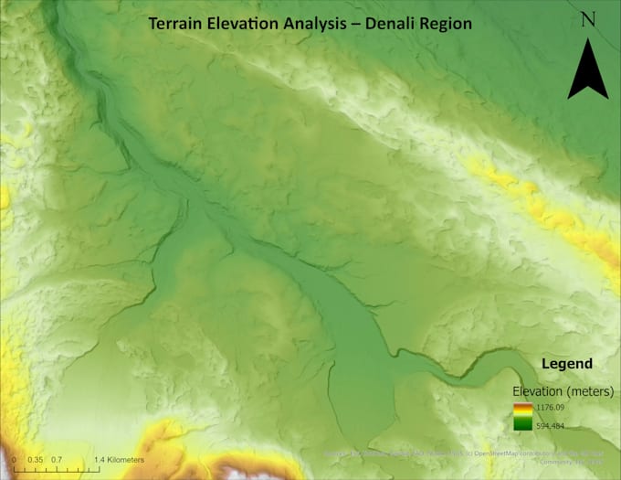
Geospatial Environmental Data Analyst
Habilidades
Revisa mis servicios
University of Maine - Undergraduate Research Assistant – Climate & Hydrologic Modeling
ResearchGate • Tiempo parcial
Jan 2026 - Present • 4 mos
Supported environmental modeling and GIS workflows for hydrologic, groundwater, and permafrost research. Worked with PRMS, MODFLOW, and GIPL to process climate, soil, and hydrologic datasets and prepare model inputs. Used ArcGIS Pro and Python to analyze outputs, create geospatial visualizations, and generate derived datasets. Built experience in data quality control, workflow organization, and translating complex environmental data into usable spatial products.
Kashgari Dictionary - Head of Database Collection
Language Fluent • Tiempo completo
Apr 2024 - Aug 2024 • 4 mos
Designed structured data collection workflows and quality control processes for linguistic datasets. Managed a team of 8 analysts responsible for creating, verifying, and organizing database records. Oversaw audio and image repositories, created internal standards, and improved consistency across datasets. This role strengthened my skills in workflow design, data quality assurance, documentation, and team coordination.
University of Maine - Undergraduate Research Assistant – Geospatial Climate Research
ResearchGate • Tiempo completo
May 2024 - Jun 2024 • 1 mo
Conducted geospatial analysis of paleoclimate and glacier datasets using ArcGIS and MATLAB. Compiled, cleaned, and organized climate and paleoclimate datasets for glacier reconstruction research. Supported scientific publication preparation for an NSF-funded climate research project. Strengthened skills in geospatial data management, research workflows, and environmental data interpretation.
