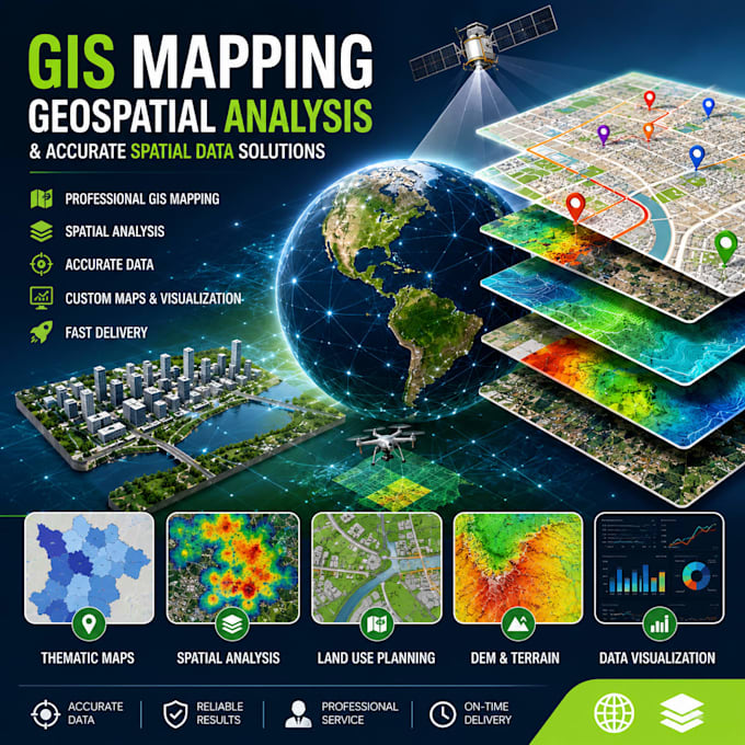
Johnson Lugard is a Geo Services specialist with expertise in GIS, spatial data analysis, digital mapping, remote sensing, and geospatial intelligence. He delivers accurate location-based solutions for planning, infrastructure, and environmental projects. His work focuses on turning complex geographic data into clear insights for decision-making. A key project he completed involved a smart geo-mapping and spatial analysis system that improved mapping accuracy, data visualization, and operational efficiency for stakeholders through integrated GIS tools and real-time spatial data processing.... Lee más