i
irfanjutt78

Irfan

@irfanjutt78

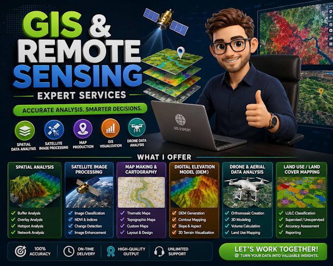
Expert GIS Mapping, Remote Sensing and Data Analytics

Pakistán
Inglés
Parte de la información aparece en idioma inglés.
Sobre mí
Welcome to my profile! I am a GIS Specialist and Spatial Data Analyst dedicated to providing high-quality geographic insights. I offer expert services in GIS mapping, remote sensing, and spatial analysis using ArcGIS, QGIS, and Google Earth Engine. With strong skills in Python and ArcPy automation, I streamline data workflows to deliver precise and visually impactful results. I focus on clear communication, technical accuracy, and delivering solutions that meet your exact needs. Feel free to reach out to discuss your project!... Lee más

Habilidades

i
irfanjutt78
Irfan
desconectado • 
Tiempo medio de respuesta: 1 hora

Revisa mis servicios

Artes gráficas y diseño
I will do gis mapping, remote sensing, and spatial data analysis
Fórmulas y macros
I will create professional maps and perform satellite image analysis for research

Experiencia laboral

GIST

Research Assistant (GIS)

GIST • Tiempo completo

Jan 2025 - Aug 20257 mos

I bring extensive hands-on experience in geospatial analysis and environmental data processing.My professional background includes serving as a GIS and Data Analyst Intern at Pakistan.Meteorological Department, where I specialized in automating complex geoprocessing workflows using Python and the ArcPy package.Additionally, I have worked as a Digital Survey Assistant with the Ministry of Climate Change, utilizing tools like Open Foris and QGIS for precise field data mapping.