I will build automated geospatial data pipelines and gis workflows

G
geospatial55
G
geospatial55
Ahmad

Level 1

Parte de la información aparece en idioma inglés.

Acerca de este Servicio

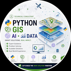
I build automated geospatial data pipelines and GIS workflows using Python to reduce repetitive manual work and improve data processing efficiency.

I can help with:

  • GIS workflow automation
  • Python and GeoPandas processing
  • Spatial ETL pipelines
  • Shapefile, GeoJSON, KML and GeoPackage processing
  • CRS conversion and reprojection
  • Spatial joins, clipping, merging and filtering
  • Geometry validation and data cleaning
  • PostGIS database integration
  • GIS API integration
  • Automated satellite/geospatial data processing
  • Batch processing of large spatial datasets
  • Automated GIS outputs and reports

Whether you need to process hundreds of spatial files, connect GIS data with an API/database, or automate a repetitive geospatial workflow, I can build a clean and reliable solution tailored to your project.

Please contact me before ordering for complex workflows, large datasets, APIs, or database integrations.

Conoce a Ahmad

Ahmad

GIS , Python and AI Specialist

4.6(13)

Level 1

  • DePakistán
  • Miembro desdeoct 2024
  • Responde aprox. en:1 hora
  • Última entrega1 mes
  • Idiomas

    Urdu, Inglés
Hi! I'm Ahmad, a GIS and Remote Sensing specialist with over four years of hands-on experience in geospatial technology. I hold a master’s degree in GIS and Remote Sensing, and I'm skilled in integrating AI to solve complex geospatial problems. Whether you need precise GIS data analysis, customized Web GIS solutions, or advanced remote sensing applications, I’m here to help.

Mi porfolio