Explorar las categorías
Explora
Fiverr Pro
Español
$
USD

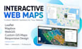
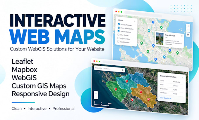
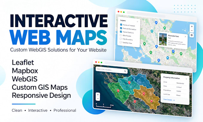
Need an interactive map that helps visitors explore your locations, data or services instead of just looking at pins?
MY SERVICES
I build custom WebGIS maps with Leaflet, Mapbox and geospatial data for businesses, real estate, tourism, research and planning.
WHAT YOU WILL RECEIVE
WHY CHOOSE ME?
Whether you're showcasing properties, mapping facilities or sharing research, your map should be easy to use and useful.
Ready to bring your locations to life? Message me with your idea and dataset today. Let's build an interactive map that works for you!
GIS EXPERT
Idiomas
What types of interactive maps can you create?
I create WebGIS maps for real estate, businesses, tourism, research, urban planning, facilities and location directories. Share your intended use so I can recommend the best approach.
Which mapping technologies do you use?
I mainly use Leaflet, Mapbox, JavaScript, HTML, CSS and GIS data formats. QGIS may be used for spatial data preparation, conversion and validation.
What data formats can I provide?
GeoJSON, KML, KMZ, CSV with coordinates, and zipped Shapefiles are accepted. Other formats can be reviewed before ordering. Please include coordinate information when available.
Can you integrate the interactive map into my existing website?
Yes. Website embedding or integration is included in the Standard and Premium packages where the website supports it. Share your platform and requirements for compatibility review.
Will my interactive map work on mobile devices?
Yes. All three packages include responsive layouts designed for desktop, tablet and mobile screens. Functionality will be tested against the agreed requirements.
Can you add search bars, filters, popups and layer controls?
Yes. Popups are included across the packages, while search, filters and more advanced layer interaction depend on the selected package and the structure of your data.
What if I do not have GIS data?
I can discuss suitable publicly available datasets or help prepare an existing location list. Extensive data collection, digitization or cleaning may require an additional fee.
Do you provide hosting and a live preview?
I can provide a development preview and deliver the agreed source files. Premium includes deployment assistance. Domains, paid API usage and third-party hosting fees are not included.
Can you develop a live GIS dashboard or database-connected map?
Yes, such projects can be discussed as custom work. Live feeds, authentication, backend APIs and spatial databases need separate scoping, pricing and delivery estimates.
What happens if I request revisions after delivery?
Your package includes 1, 2 or 3 revisions. These cover reasonable changes within the agreed scope. New features or major design changes may require a separate offer.