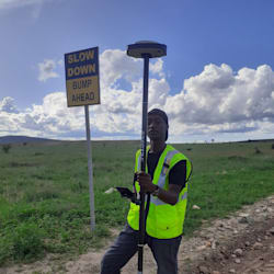
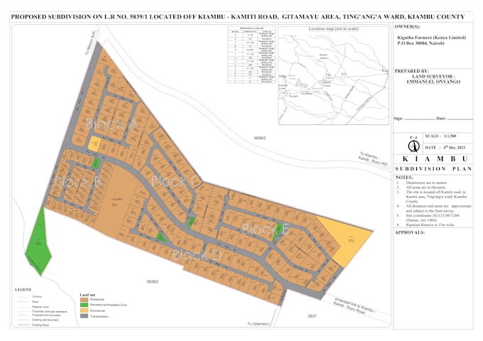
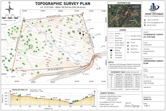
Hi! I'm a GIS and Survey CAD specialist with expertise in Civil 3D, AutoCAD, and geospatial data processing. I deliver accurate topographic maps, KML/KMZ conversions, contour generation, coordinate transformations, and professional CAD drawings for engineering and land development projects. I focus on precision, timely delivery, and clear communication to ensure every project meets your expectations. Every detail matters, and I treat your project as if it were my own. Fast response, reliable service, and quality work are what you can expect. Let's build something exceptional together!... Lee más