I provide two specialized services: precision GIS mapping and structural/architectural feasibility consulting.
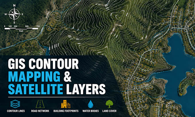
On the GIS side, I create high resolution satellite maps with custom contour lines, street networks, structures, water bodies, and parcel data from full county exports to sub acre parcel details for clients who need ArcGIS quality output without the software.
I evaluate existing commercial buildings for expansion potential reviewing zoning constraints and city requirements to give buyers and designers a clear, economical path forward before they commit to a property or permit.... Lee más