Explorar las categorías
Explora
Fiverr Pro
Español
$
USD

Vetted Pro
Top Rated


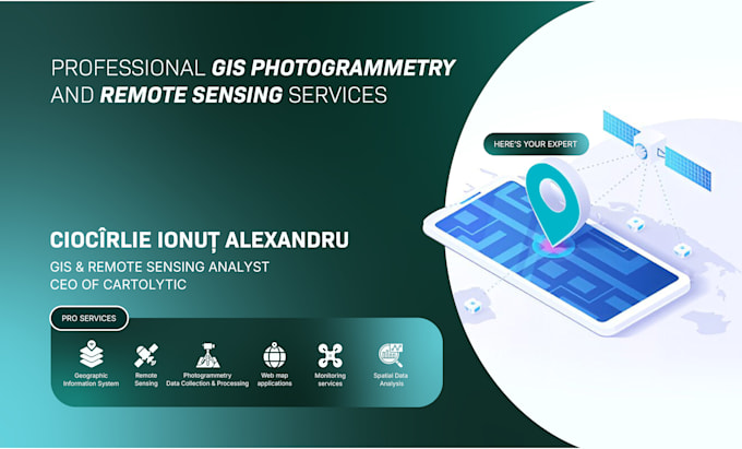
El equipo de Fiverr Pro seleccionó a Ciocirlie I. por su experiencia.
Traducción automática
Ofrezco servicios de inteligencia de mercado y análisis de ubicación que ayudan a las organizaciones a entender dónde invertir, expandirse o priorizar recursos. Combinando GIS, datos demográficos y modelado espacial, transformo conjuntos de datos fragmentados en insights claros y listos para tomar decisiones.
Mi trabajo incluye selección de sitios, definición de territorios, análisis de competidores y demanda, y evaluación de mercados, principalmente para bienes raíces, comercio minorista y negocios de servicios. He creado bases de datos de mercados espaciales y herramientas de evaluación para clientes en EE. UU., integrando datos del Census y ACS, POIs, contexto de zonificación, métricas de accesibilidad y restricciones ambientales.
Estos análisis van más allá de mapas simples. Desarrollo modelos de puntuación transparentes que clasifican ubicaciones o territorios según criterios relevantes para el negocio, permitiendo a los equipos comparar oportunidades objetivamente y justificar decisiones internamente o ante stakeholders.
Los resultados típicos incluyen capas GIS limpias, conjuntos de datos estructurados en Excel/CSV y mapas profesionales que comunican claramente el potencial y riesgo del mercado. Todas las suposiciones, fuentes de datos y limitaciones están documentadas para garantizar confianza y reproducibilidad.
Vetted Pro
Geospatial Expert
Top Rated
Ciocirlie I. es parte del catálogo de Fiverr Pro y un equipo especializado de Fiverr Pro lo ha seleccionado con cuidado por sus habilidades y experiencia.
Revisado para
Visualización de Datos
Idiomas
Traducción automática
Traducción automática
¿Qué industrias apoyas?
Mercados relacionados con bienes raíces, comercio minorista, desarrollo de franquicias, automoción, servicios y infraestructura.
¿Trabajas con datos del Census de EE. UU.?
Sí. Trabajo extensamente con datos del Census y ACS para análisis demográficos y socioeconómicos.
¿Puedes clasificar o puntuar ubicaciones?
Sí. Construyo modelos de puntuación transparentes y personalizables basados en tus criterios.
¿Son reutilizables los resultados?
Sí. Las bases de datos y capas GIS están estructuradas para futuras actualizaciones.
¿Esto puede integrarse en un dashboard Web GIS?
Por supuesto. Este servicio se integra bien con soluciones Web GIS.