Explorar las categorías
Español
$
USD
Conéctate con tu IA

Professional Land Surveying, AutoCAD Drafting and GIS Mapping Expert
Habilidades
Revisa mis servicios

GIS Mapping & PDF-to-CAD Specialist
Fiverr
May 2026 - Present • 6 mos
I assist with GIS mapping, spatial data presentation, and conversion of suitable PDF drawings into editable CAD files. I work with available source documents and data to organize layers, map features, drawing elements, and annotations. My focus is on producing clear, structured files that meet the agreed project requirements.

Floor Plan Drafter
Self
Apr 2026 - Present • 7 mos
I create and revise 2D floor plan drawings based on client sketches, existing plans, measurements, and design references. I organize rooms, walls, doors, windows, dimensions, and labels into readable technical layouts, following the scope and requirements agreed upon for each project.

Land Survey Drafting Specialist
Self Employed
Jan 2026 - May 2026 • 4 mos
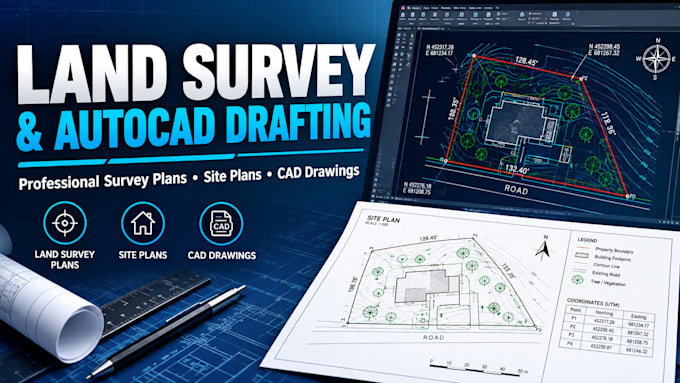
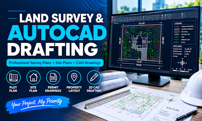
I convert supplied survey data, field notes, sketches, and reference documents into organized land survey drawings. My drafting work can include property boundary representations, coordinates, dimensions, labels, and other details supported by the information provided. I prioritize legibility, consistency, and careful presentation.
