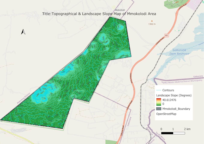
I am a Geospatial Data Analyst specializing in spatial analysis, remote sensing, and data manipulation. I have extensive experience using QGIS for topographic mapping, drainage analysis, and satellite imagery processing.
Beyond GIS, I specialize in web data extraction (ETL), data analysis, and advanced Excel trend modeling and reporting. I deliver clean databases, high-precision thematic maps, and clear technical insights to help clients make data-driven decisions.... Lee más