Explorar las categorías
Explora
Fiverr Pro
Español
$
USD
GIS and Remote Sensing Analyst, Mineral Exploration and Mapping
Habilidades
Revisa mis servicios

Independent GIS & Remote Sensing Analyst
Self-Employed / Freelancer
Jan 2022 - Present • 4 yrs 9 mos
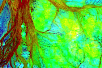
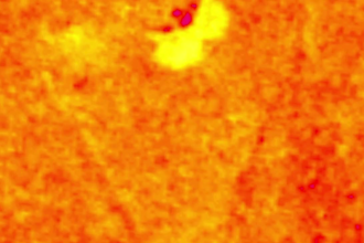
Deliver independent GIS and remote sensing projects for international clients, supporting mineral exploration screening, satellite imagery interpretation, thematic mapping and technical reporting. Use Sentinel-2 and ASTER imagery, band ratios, PCA/MNF, terrain and structural analysis, and geological/geophysical evidence integration. Deliver maps, spatial layers and reports in Arabic or English. Identify promising areas for field verification; remote sensing results do not confirm mineral deposits. Relevant training includes NASA ARSET, Esri, EO College, EO AFRICA, FutureLearn and GEO University.
