Explorar las categorías
Explora
Fiverr Pro
Español
$
USD

Sam
@barakadan7
Level 1
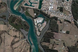
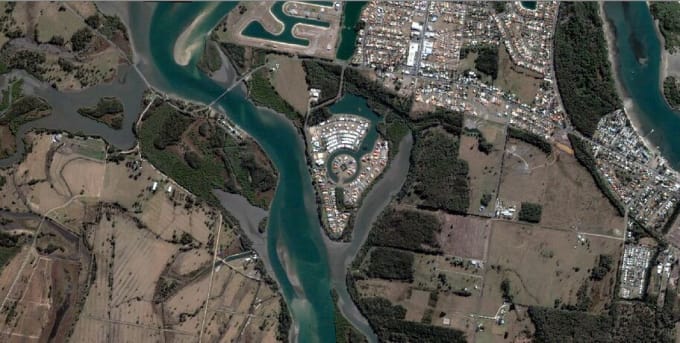
GIS Scientist and Mapping Expert
Kenia
Inglés
Sobre mí
I am a GIS and Remote sensing expert available for GIS or Remote Sensing services. I always put my client's interests first to provide accurate and well-presented maps including spatial analysis and other GIS services. I always work efficiently in a timely fashion without compromising on quality. I will prioritize the work according to client's demand and to their satisfaction.
5+ Years of experience in the field of GIS & RS.
I have professional degree in: B.S. (Geomatics and geospatial information)
Software:
ArcGIS, QGIS, ERDAS Imagine, ENVI and Agisoft Photoscan
Habilidades

Sam
desconectado •
Tiempo medio de respuesta: 1 hora
Revisa mis servicios

Sistemas de información geográfica (GIS)
I will perform geospatial analysis and create a map

Sistemas de información geográfica (GIS)
I will convert shp to dwg, dwg to kmz, pdf to dwgs
Porfolio
51 Reseñas
| (43) | ||
| (7) | ||
| (0) | ||
| (1) | ||
| (0) |
Desglose de calificaciones
- Nivel de comunicación del Freelancer
- Calidad de la entrega
- Valor de la entrega
1-5 de 51 reseñas
Ordenar por
Más relevante
chrisselus
Cliente recurrente

Alemania
Already the third project. Once again, everything was implemented perfectly and quickly.
Respuesta del Freelancer
Útil?
achkar1998
Cliente recurrente

Emiratos Árabes Unidos
Respuesta del Freelancer
Útil?
achkar1998
Cliente recurrente

Emiratos Árabes Unidos
Útil?
achkar1998
Cliente recurrente

Emiratos Árabes Unidos
Útil?
sarah_schaedler

Austria
Ich stand unter erheblichem Zeitdruck, doch Barak konnte mir umgehend weiterhelfen. Sie reagierte sofort auf meine Anfrage, was mich sehr überzeugt hat. Die Aufgabe wurde schnell, zuverlässig und korrekt ausgeführt. Ich kann ihre Arbeit uneingeschränkt weiterempfehlen.
Hasta USD50
$
4 días
Tiempo
Respuesta del Freelancer
Útil?

