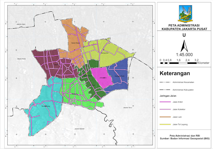
I am a Geomatics Engineering student with hands-on experience in road network analysis, DInSAR-based disaster hazard mapping, and administrative boundary mapping. I am proficient in using spatial data frameworks like BIG and DEMNAS, and tools such as ArcGIS, QGIS, and SNAP to produce industry-standard cartographic layouts and geospatial analyses.... Lee más