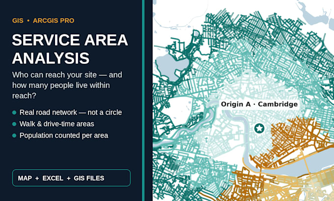
I turn location data into decisions, and data into AI-ready training sets. I am a geospatial analyst with an MSc in Geography and Environment. My research mapped 15-minute access for 518 city blocks and 981 services, and that precision runs through every order. In ArcGIS Pro and QGIS I deliver service area maps with population counts, site selection scoring, and spatial annotation of satellite imagery. For AI teams, I label images, video, audio and text, draw bounding boxes and build training datasets, all QA checked. Every order starts with a sample you approve. Message me before you order.... Lee más