Explorar las categorías
Explora
Fiverr Pro
Español
$
USD

Geospatial Data Scientist
Habilidades
Revisa mis servicios

Founder
Geo Lab • Tiempo completo
Feb 2022 - Present • 4 yrs 7 mos
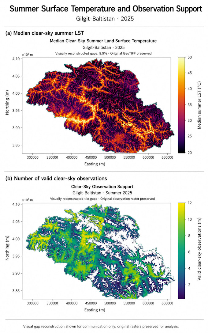
Founded and scaled a spatial startup, delivering customized GIS, remote sensing, and drone-based solutions to 15+ clients, including the Fisheries Department, Gilgit Development Authority, and other governmental and private organizations. - Directed and executed large-scale mapping initiatives covering 600+ km of rugged and remote terrain, producing 100+ high-resolution thematic and topographic maps for environmental monitoring, urban planning, - Managed and mentored a multidisciplinary team of 5+ GIS analysts, drone pilots, and field technicians, ensuring precision, quality control, and on-time delivery for high-impact projects with regional and national significance.

GIS Analyst
Billion Tree Tsunami • Tiempo completo
Jan 2022 - Aug 2024 • 2 yrs 7 mos
Analyzed 450+ km of landscapes, producing 100+ maps to support reforestation across 200+ hectares. - Enhanced conservation strategies through spatial modeling, collaborating with interdisciplinary teams of ecologists and policymakers. - Trained 10 field staff in GIS applications, boosting data accuracy by 30%. - Developed predictive models to assess environmental impacts, informing strategic planning decisions. - Conducted workshops on remote sensing technologies, elevating team proficiency in data interpretation.

Lecturer
Karakoram International University Gilgit (KIU) • Tiempo parcial
Jan 2023 - Jul 2024 • 1 yr 6 mos
Educated and mentored over 300 undergraduate students in GIS and remote sensing, achieving a 90% course completion rate and consistently high student feedback scores. - Supervised 15 applied research projects, with 3 projects presented at regional conferences and recognized for innovation in spatial applications. - Designed and delivered 5 comprehensive course modules, integrating real-world spatial challenges such as environmental monitoring, urban planning, and resource management to enhance practical learning outcomes.
