Explorar las categorías
Español
$
USD
Conecta tu IA a Fiverr
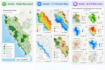
Hello! I'm Aksheyta, a GIS and Remote Sensing Specialist with 10 years of professional experience in geospatial analysis, cartography and environmental mapping.
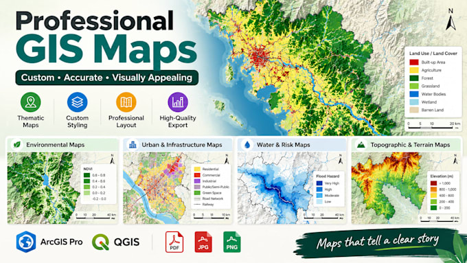
I create clean, accurate and visually appealing GIS maps using ArcGIS Pro , tailored to your project requirements.
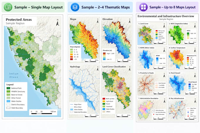
My Mapping Services
What You'll Receive
Please provide your GIS data, area of interest, map purpose and any preferred colours or reference examples before ordering.
GIS Professional, GIS Consultant, Spatial Analysis , ArcGIS , Web Dasboard
Idiomas
What data do you need from me?
Please share your GIS data, area of interest, map purpose and preferred output format. If available, include a reference map or style example
Can you create thematic maps?
Yes. I can create thematic maps using supplied spatial data and appropriate symbology, classification and labels.
Can you prepare maps for reports and publications?
Yes. I can prepare clean layouts and high-resolution exports suitable for technical reports, research and presentations.
Can you create multiple maps in the same style?
Yes. The Advanced package is designed for up to three related maps with consistent styling.