a
abdul7360620

Abdul Rahman

@abdul7360620
5.0(2)

GIS, Drone Mapping, WebGIS, LiDAR and Remote Sensing Specialist

Pakistán
Inglés
Parte de la información aparece en idioma inglés.
Sobre mí
I’m Abdul Rehman, a Geoinformatics Engineer and GIS Specialist with expertise in UAV/Drone Mapping, Photogrammetry, LiDAR, Remote Sensing, Topographic Surveying, GIS, CAD, WebGIS, and Satellite Data Processing. I work with ArcGIS, QGIS, Civil 3D, AutoCAD, Agisoft Metashape, Pix4D, Global Mapper, Google Earth Engine, CloudCompare, and Python. I create accurate orthomosaics, DSM/DTM, point clouds, contours, 3D models, topographic maps, GIS dashboards, WebGIS applications, and spatial analysis solutions.... Lee más

Habilidades

a
abdul7360620
Abdul Rahman
desconectado • 
Tiempo medio de respuesta: 2 horas

Revisa mis servicios

Sistemas de información geográfica (GIS)
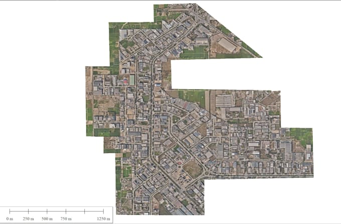
I will drone data processing and point cloude classification dsn dtm mosaic
5.0(2)
Dibujos 2D y planos del sitio
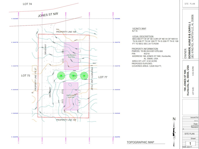
I will topographic survey plan for your lot

2 Reseñas
5.0

(2)
(0)
(0)
(0)
(0)
Desglose de calificaciones
  • Nivel de comunicación del Freelancer
    5
  • Calidad de la entrega
    5
  • Valor de la entrega
    5
1-2 de 2 reseñas
Ordenar por
Más relevante
    G

    geotechnical1

    IT

    Italia

    Colaboración continua
    5

    I am very happy about the quality of the job. It was done as I expected. Thanks

    Útil?
    Sí
    No
    G

    geotechnical1

    IT

    Italia

    Colaboración continua
    5

    The job was carried out as I expected. I am satisfied about the quality of the product I received

    Útil?
    Sí
    No